– so citizens can know, avoid them
A US$78, 750 contract has been awarded to Valerie Grant for the creation of a digital map of all the criminal hotspots in Region Four, said Minister of State, Joseph Harmon Monday.
He told the media that the contract was awarded to Grant, a consultant, by the Ministry of Public Security.
“This crime-mapping consultancy will depict spatial depictions of crimes in Region Four,” Minister Harmon said.
“The project will give serious crimes and geocode them; the occurrence of crime as per geographic locations, and create communicative maps so that Guyanese citizens will be able to see a digital map that depicts where crimes are occurring based on crime data,” he told reporters during a post-Cabinet press briefing at the Ministry of the Presidency.
The initiative, he noted, is similar to services provided in other countries, and will help persons avoid becoming victims of criminal activity.
He explained that the map will be displayed in similar fashion to “Google Maps” and “will be visible in real time”.
According to the minister of state, users will have the option to “zoom in” and access crime data such as the type of crime that occurred in a particular location at a particular time.
The Guyana Police Force (GPF), in its latest report, has recorded a nine-per-cent decrease in serious crimes at the end of June 2018, compared to the similar period last year.
The move towards digital crime mapping is part of the government’s initiative to use Information Communication Technology (ICT) to improve the lives of citizens via the use of state-of-the-art technology.
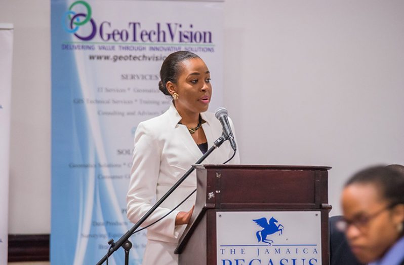
Grant, a Jamaican-born businesswoman, owns and operates GeoTechVision Enter-prises Limited, a company which specialises in spatial technology and Information, Communication and Technology (ICT) solutions.
The company, which was founded in Jamaica and incorporated here as GeoTechVision Guyana, has been here since 2012.
GeoTechVision Guyana has worked with several Guyanese entities, including the Guyana Power and Light Company (GPL) on the mapping of its assets as part of a needs assessment exercise, the Guyana Water Inc. Mangrove Project, and the Ministry of Public Infrastructure.


