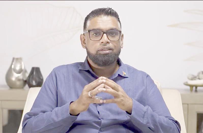
GUYANA will be the host country for the Caribbean Community’s (CARICOM) Disaster Recovery Super Hub, President, Dr Irfaan Ali has announced.
In a broadcast address on Wednesday, the Guyanese Head of State explained that with Guyana’s immunity to hurricanes, earthquakes and volcanoes, the country is considered the ideal location to host the digital infrastructure for the region.
“By 2030 we will establish the Caribbean disaster recovery super hub, host mirror system for CARICOM, government, banks and telecoms, offer emergency digital continuity services for health care, education, governance, support, data sovereignty through secure in country, creating regional backups and doing this as a green AI [artificial intelligence] and innovation hub,” President Ali explained.
Guyana also provides the most cost-effective option, he said.
“Guyana’s electricity will be up to 70 per cent cheaper than the rest of the region, and this makes us the most cost-effective place for AI and data operation.”
Guyana is actively implementing several digital and AI-powered tools aimed at improving access to government services and enhancing security.
“We want Digital Guyana to make life enjoyable. We want Digital Guyana to make life easier, to make systems more efficient, to make systems more reliable, to make doing business easier.”
He noted too that Guyana will be vigorously pursuing the building out of AI and data zones, which will be sustainably powered by hydro, gas and solar energy.
“We’re therefore going to work on building out an AI zone and data campuses, powered by hydro, gas and solar, partner with global firms on climate AI, health analytics and Smart Agriculture, launch the National AI Institute to train our workforce, certified green data centres.”
“This is something of the future, green data centres, and we will be in a position to be part of that future, exporting digital government platforms regionally, as I said. This is what we are pursuing,” he added.
He noted too that Digital Guyana will also introduce an integrated geographic information system to map and monitor national infrastructure in real time. This system will be able to create 3D models of all physical infrastructure across the country, such as roads, bridges, kokers and drainage, underground conduits, utility posts, hydrants and more.
“This is essential if you’re building a modern society. So, the days of cutting the roads and cutting the highways in search of pipelines will be long gone, and we can use technology to do this more efficiently, reducing the risk but also creating an enabling environment for [the] comfort of our citizens.”
Last July, Hurricane Beryl, an unprecedented and extremely dangerous Category 4 hurricane, made landfall in the Caribbean. It caused widespread devastation across several islands, including Grenada, St. Vincent and the Grenadines, Barbados, and Tobago, resulting in significant damage to infrastructure, homes, and key services, as well as life-threatening storm surges and flooding.
The storm severely impacted the region’s agricultural sector, causing tens of millions of dollars in losses and setting back the region’s then “25 by 2025” food security targets aimed at reducing food- import bills by 25 per cent. This devastation has prompted calls for strategic rebuilding and increased investment in sustainable agriculture from regional leaders and organisations


.jpg)


