Integrating Technology for Sustainable Mining Practices
GUYANA’S mining sector, focused on gold, bauxite, diamonds, and oil and gas, has been a driving force behind the nation’s economic growth. However, the industry has faced significant environmental challenges, leading to deforestation, water contamination, and biodiversity loss. Mining tailings containing hazardous substances further exacerbate environmental damage. To address these issues, Guyana has recognized the importance of integrating environmental considerations into all development efforts. Advancements in remote sensing and geographic information systems (GIS), led by the Environmental Protection Agency (EPA), are critical in enhancing monitoring and enforcement, promoting responsible mining practices and safeguarding the environment.
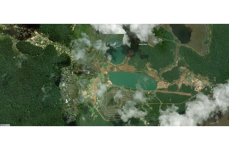
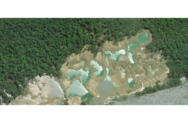
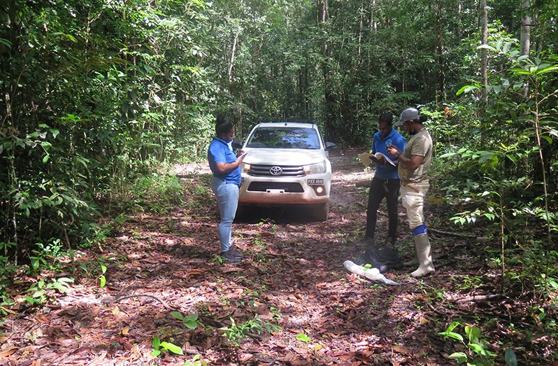
The Environmental Protection Agency (EPA) serves as the primary regulatory agency responsible for monitoring and mitigating potential environmental impacts of mining activities. Acknowledging the significance of ongoing monitoring, the EPA has embraced cutting-edge technologies such as GIS and remote sensing to enhance their capabilities. By integrating remote sensing with GIS, the EPA gains valuable geospatial information, particularly in hazardous and remote mining areas where on-site monitoring may be challenging or dangerous. This technology allows the agency to efficiently manage pollution reports, identify non-compliant mining operations and allocate resources effectively to critical areas. One of the most significant advantages of remote sensing is its ability to mitigate the environmental effects of mining activities. It provides crucial data and insights on factors such as land use, land-cover changes, and water quality. This data becomes the foundation for enforcing environmental regulations and promoting sustainable mining practices.
 The EPA has made substantial strides in recent years by adopting advanced sensor technologies, such as hyperspectral imaging and LIDAR. These technologies enable even more precise and comprehensive data collection, helping the EPA to better understand the complex interactions between mining activities and the environment.
The integration of remote sensing and GIS empowers the EPA to enforce environmental regulations effectively. By identifying sources of pollution and non-compliant mining operations, the agency can ensure that mining companies adhere to guidelines, promoting sustainable and responsible mining practices.
As technology evolves, the EPA remains committed to staying at the forefront of environmental monitoring. The agency invests in research and development to explore emerging technologies that promise even greater accuracy and efficiency in their monitoring and regulatory efforts.

With Guyana’s mining sector being crucial to its economy, integrating serious environmental considerations becomes imperative. The advancements in remote sensing and GIS technology by the Environmental Protection Agency offer hope for a more sustainable future. By promoting responsible mining practices and collaborative efforts among regulatory agencies, mining companies, and local communities, Guyana can strike a balance between economic growth and environmental protection, thereby ensuring a prosperous and environmentally conscious future for generations to come.
Remember:
You can share your ideas and questions by sending letters to: “Our Earth, Our Environment”, C/O Communications Department, Environmental Protection Agency, Ganges Street, Sophia, GEORGETOWN, or email us at: eit.epaguyana@gmail.com. Follow us on Facebook and Instagram and subscribe to our YouTube channel.


.jpg)


