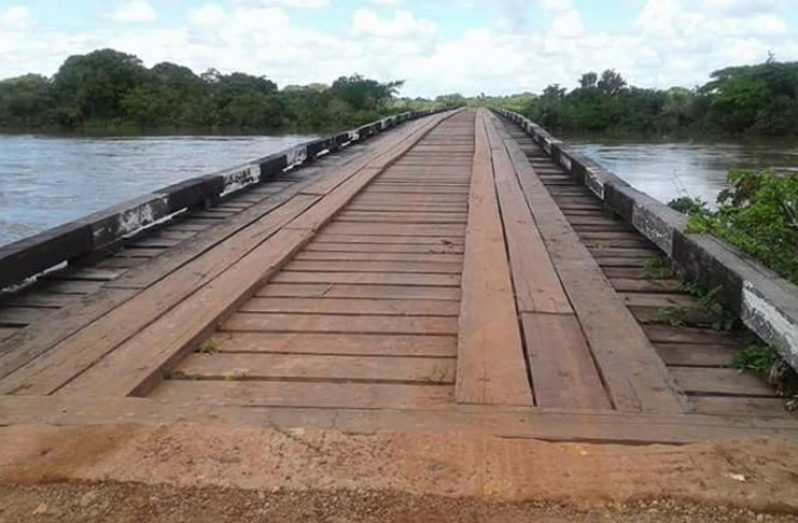
TRAFFIC was flowing across a main bridge connecting several deep South Rupununi villages after floodwaters in the vicinity receded over the past 24 hours.
Persistent rainfall in the area earlier this week resulted in the approaches at both ends of the bridge, located some 60 miles from Lethem, being impassable. This resulted in a total cut-off of traffic in the area.
On Thursday, reports from Aishalton indicate that road traffic had resumed in the area as several vehicles, including buses and trucks were able to traverse the area in the vicinity of the bridge. However, residents reported that floodwaters were still visible in the area, even as overcast conditions were prevalent on Thursday.
The levels of the water in the main waterways in parts of the Rupununi have risen in recent days. The situation is being monitored by the regional authorities as the annual May/June rains take effect.


.jpg)


