


.png)


VILLAGES and farmlands in various parts of Region Three (Essequibo Islands – West Demerara) and Region Six (East Berbice – Corentyne) are currently submerged due to heavy rainfall.
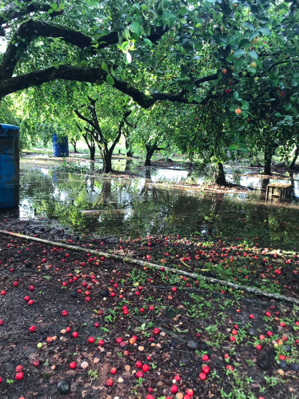
The Civil Defence Commission (CDC) in a statement noted that it received reports on Saturday of flooded farmlands at the Conservancy Dam, Canal Number Two Polder, while streets and yards in Belle West, Phase Two, West Bank Demerara, are also under water; both are communities in Region Three.
The CDC has since deployed an assessment team to Region Six and is currently working with the Region Six Regional Democratic Council (RDC) to gather more information, while the authorities of Region Three will conduct their own assessment and subsequently inform the CDC of the situation. The National Weather Watch Centre, Ministry of Agriculture, on April 7 had issued a bulletin advising of continuous, moderate-to-heavy showers expected between April 9 to 11.
In anticipation of the rainfall, Agriculture Minister, Zulfikar Mustapha, on Friday inspected drainage pumps around the city of Georgetown, to ensure that the pumps are operational and would be able to drain the land in the case of any eventuality.


