

.png)


“THE world is getting smaller” is a statement that now holds true, with technological advancement, we are now able to chat with our families and friends in real time across continents. More so, we can use Google Earth to take a virtual tour of any country on the Earth without having to leave the comforts of our living room.
The advancement in technology is making the world more connected and more accessible. One such technology is the Geographic Information System (GIS), this technology can do numerous things such as help citizens predict areas of flooding and map soil quality to ensure efficient land use.
GIS DAY, AN ANNUAL EVENT 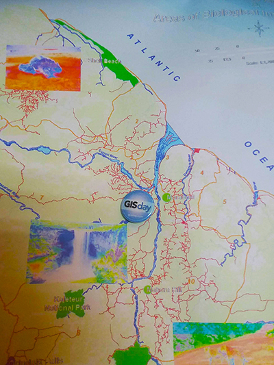
The third Wednesday of November, each year, is designated internationally as “GIS Day”. On this day, users of Geographic Information Systems (GIS) celebrate the technology and its multiple applications in the real world. The recognition of this day was initiated on November 19, 1999 by the combined efforts of the National Geographic Society, Association of American Geographers (AAG) and Esri, one of the leading GIS service providers.
A geographic information system (GIS) is a framework for gathering, managing, and analysing data. The system integrates many types of data and organises it into layers so as to create a holistic and accurate depiction of the world. It aids in smart decision-making by revealing underlying relationships, patterns and trends through maps and 3D visualisations (Esri, 2018). This interoperable system provides a means of manipulating geographic data which can be viewed and analysed in any desired scenario or context.
The applications of this technology are endless and offer a range of possibilities across all sectors. It is currently being used globally in almost every discipline, including telecommunications, transportation, urban planning, disaster management and mitigation, surveying, public health, agriculture, security systems and a number of uses in environmental management.
Schools and universities now have geosciences or the use of geospatial data as a core component of academic curriculums, in order to provide awareness and strong foundation for students. Over the years, GIS software has become cheaper, and now even for free with the use of Free and Open Source Software (FOSS).
THE IMPORTANCE OF GIS TO THE WORK OF THE EPA
The Environmental Protection Agency of Guyana (EPA) relies heavily on accurate and relevant data for planning, monitoring, research, and data dissemination. The use of geospatial data is a critical component to the functioning of the agency, particularly in the regulatory role it plays.
Using GIS in the routine activities of the agency include mapping field information obtained through environmental inspections, and overlaying it with baseline data to identify and address potential conflicts or issues which may occur in a specified region. Since activities in the environment do not happen in isolation, it is essential for much collaboration with other regulatory agencies and organisations with regards to overlapping and cross-cutting issues. Environmental complaints and pollution sites are also mapped to locations of high-risk activities and hotspot areas can be identified and managed.
GIS technology also allows the EPA to determine the distribution of permitted and non-permitted operations in relation to other sites such as protected areas, medical or educational facilities, water bodies, etc. and provide informed and data-driven decisions.
THIS YEAR’S OBSERVANCE
Annually, EPA takes time out to celebrate this important day. This year, the Management Information System Programme Area conducted a presentation focused on how GIS can be used for monitoring particularly freshwater ecosystems. Additionally, a demonstration was made to showcase how drones are used to collect information.
The uses and applications of GIS continue to evolve and improve with advancement in the technology. This tool is not just useful to organisations and large entities but also to every person who desires information for decision making and planning. It is envisioned that the importance of GIS will escalate as persons recognise the need for real-time information, to make routine decisions as simple as which road will take them to a particular destination the quickest.
On a larger scale, GIS has the potential for helping us to understand interactions in our environment, communicating across sectors and addressing issues faced by the population. The need for establishing clear policies and guidelines with regard to data sharing, standards and security, adequately trained personnel and quality, updated information is therefore critical in the smooth functioning of the system.
You can share your ideas and questions by sending letters to: “Our Earth, Our Environment”, C/O ECEA Programme, Environmental Protection Agency, Ganges Street, Sophia, Georgetown, or email us at eit.epaguyana@gmail.com or follow us on Facebook and Instagram
Source used:
http://www.esri.com
http://www.gisday.com