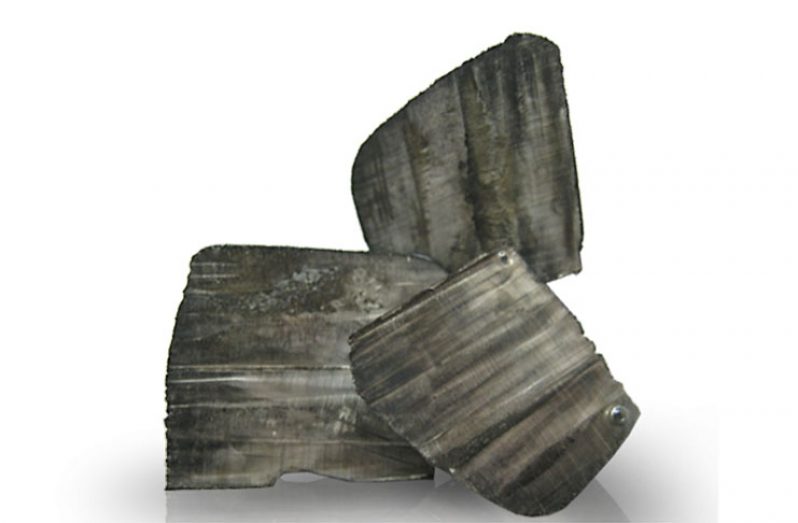
GREENPOWER Energy (ASX:GPP) has received results of up to 1.04% lithium from a rock chip sampling programme at its Morabisi Lithium and Tantalum Project in Guyana.
The project is located within a mineral-rich greenstone belt in Central Guyana, a release from the company stated. The sampling results are encouraging, given the generally weathered/oxidised nature of the rocks at the Turesi Ridge area.
In the coming months, an airborne geophysical survey is expected to be undertaken to focus on the follow-up work. The lithium mineral has been provisionally identified from field inspection as a pale green variety of spodumene, hiddenite. Greenpower is currently awaiting laboratory XRD analysis to confirm the lithium minerals present, with results expected in the next 1-2 weeks.
The assay results received to date, in addition to the identification of spodumene, confirm that the area has the potential to host a significant lithium deposit. Greenpower said too that it is preparing to undertake an airborne geophysical survey to assist in identifying additional areas that may host pegmatites similar to the Turesi Ridge area. The company has exclusive rights to earn up to a 74% interest in the project and is fully funded for all earn-in stages.
Meanwhile, the Geological Service Division of the Guyana Geology and Mines Commission (GGMC) will be undertaking 12 projects across the country aimed at mapping Guyana’s mineral deposit. The 12 projects are part of an initiative to map the entire country’s mineral deposits by 2020. The government has set aside some $2B for this effort. Minister within the Ministry of Natural Resources, Simona Broomes, met with the Geologists at the Research and Development Laboratory of the Geological Services Division in Linden, where samples from the mapping initiative are analysed.
In the coming weeks, geologists will be in South Rupununi, Region Nine and the North West District, Region One to collect samples. Geologist of the GGMC, Lawrence Simon, told the Government Information Agency (GINA), that while the information gathered will allow the GGMC to update its geological maps, it will also be invaluable to miners. Miners could use the information to pin point exactly where gold or other mineral deposits are located. Minister within the Ministry of Natural Resources, Simona Broomes reasoned that this information will reduce wanton destruction of the environment, while fitting perfectly into the government’s green economy agenda.
The minister added, that she would like to see the information gathered from the exercise further quantified. “I would want to see that we move to quantification so not only do we know that there is some amount of mineral here, but we know the value, the worth for the mineral that is there,” Broomes told GINA.
Last year, the Geology Service Division was in Itaballi, Region Seven, collecting samples for testing as part of the mapping initiative. The three month project was completed in December 2016. The Ministry of Natural Resources has also engaged the consultancy service of a specialist research geologist to enhance the GGMC’s capacity in the area of mineral exploration and mapping.


.png)


