AIR Traffic Control at the Cheddi Jagan International Airport, Timehri, were forced to recall a Bristow helicopter from near Suriname after the aircraft almost breached the complex borderline with Guyana’s Dutch-speaking neighbour.
The helicopter , which is one of three leased for operating off-shore with the U.S. oil giant Exxon Mobil, was heading to the location where the oil company has on-going operations.
Attempts to reach Exxon officials and the Guyana Civil Aviation Authority (GCAA) Thursday for a comment were futile. The incident occurred on Wednesday morning. Domestic airline, Trans Guyana Airways (TGA) handles the operations of the AgustaWestland AW139 –model helicopters.
Sources reported that Guyana and Suriname‘s airspace boundary does not correspond with the landmass below on official maps printed by the International Civil Aviation Organisation (ICAO). This was pointed out as the contentious issue which needed to be resolved at the international level, since Suriname air traffic control follows ICAO’s mapping of the boundary.
The Flight Information Regions (FIR) or airspace of the two countries meet at Benab on the Corentyne. However, geographically ,the corresponding boundary landmass below converge at a point farther north-east of Benab . This point was determined on September 20, 2007, when the Guyana-Suriname Arbitral Tribunal established under the United Nations Convention on the Law of the Sea ruled on the maritime dispute that had erupted between the two countries.
Suriname had argued for a boundary line that is more northerly, which would have effectively changed that country’s maritime area.
Paramaribo contended that the boundary between the two countries’ territorial waters was fixed in 1936 along a 10-degree North line for a distance of only three miles, because of considerations of the channel in the mouth of the Corentyne River should be extended along the same 10- degree axis beyond the three-mile limit previously agreed all the way to the 200-mile limit of the Exclusive Economic Zones claimed by both Guyana and Suriname.
The argument by Suriname was rejected by the tribunal and using the principle of equidistance which was established in the laws of Guyana in 1977, under the Maritime Boundaries Act, in the area beyond three miles from the shore, the tribunal drew the boundary in a more north-easterly direction for the remaining 197 miles, as Guyana had requested.
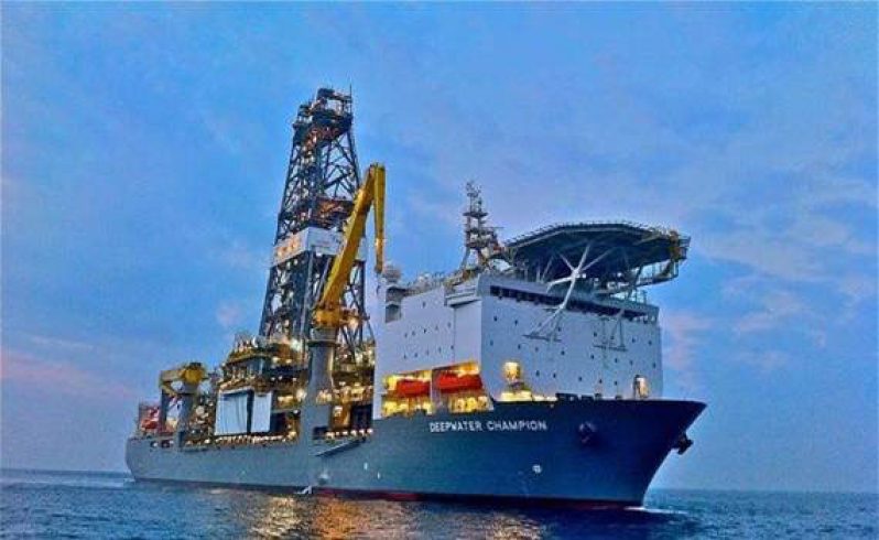
It is there where Exxon Mobil was operating on Wednesday when the support helicopter ventured out to make a stop at the company’s off-shore operations. In June 2000, Canadian oil and gas exploration company CGX Energy was drilling for oil in the Eagle-1 Well where it was licensed to operate, when Suriname gunboats evicted the company from the area overlapping territorial border claims. Guyana decided on pursuing a legal settlement.
In 2007, former President Bharrat Jagdeo announced to the nation the findings of the tribunal which was established under the United Nations Convention on the Law of the Sea.
At the time, the tribunal found that the expulsion of the CGX oil rig by Suriname “constituted a threat of the use of force in breach of the Convention (on the Law of the Sea), the UN Charter and general international law.” Its award confirmed the rule of law in CARICOM’s maritime areas and effectively settled the territorial dispute.
However, fresh claims by Suriname have been made public since 2007, including renewed claims to the New River Triangle, near the Corentyne river border. (Alva Solomon)


