

.png)


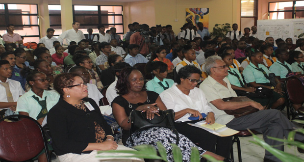
MINISTER of Education Dr Rupert Roopnaraine, has urged the Geographic Information Systems (GIS) community to use GIS Day as an example in guiding politicians into reconciliation and mutual co-operation, just as they serve government in mapping critical areas of our country.The minister was addressing an audience of students, educators and various professionals at a ceremony to commemorate internationally acclaimed GIS Day under the theme: ‘Past accomplishments by Guyanese, present developments in Guyana’ at the Education Lecture Theatre (ELT) of the University of Guyana (UG) Turkeyen campus on Wednesday.
A geographic information system is a system designed to capture, store, manipulate, analyse, manage, and present all types of spatial or geographical data and is critical for democratic participation, assisting central government in crafting appropriate national plans for communities.
“Just as I expect the GIS community to serve government, both the Executive and Legislature, in mapping the unexplored and undocumented areas of our country, perhaps you can also use today as an example in guiding some of our political actors into the largely unexplored territory of reconciliation and mutual cooperation,” Minister Roopnaraine voiced.
The event, sponsored by the Ministry of Education, School of Earth and Environmental Sciences (SEES), University of Guyana, and the Guyana Telephone and Telegraph Company (GT&T), featured presentations by various organisations and institutions on the use of the GIS applications to better manage resources.
Government, in its campaigns and manifesto, has outlined plans for Guyana’s development and in order to fulfil its policy mandate, GIS has an important role to play in information-gathering and structure.
Guyana is relatively small with a significant section of its population dwelling in remote areas which are partially documented, though rich in human and natural resources. Accurate mapping of these areas is not only “metaphorical or abstract priority, but also a very literal one”, the Education Minister posited.
GIS capacity development is becoming “increasingly critical” in assisting government in moving Guyana towards a guaranteed good life for all its citizens, and in democratic integration, “developmental decision-making has to be decentralised” through processes beginning with local government elections.
Over the years he said, while the education system has expanded, there was a decline in the overall quality of education since the ministry was challenged with adequately crafting programmes which accurately reflected the priorities of some communities.
“Even as we deal with a streamlined core curriculum, the reality of public education provision is far more complex. As education has expanded over the years, we have not been able to adequately craft programmes that accurately reflect the priorities of the various communities we are obligated to and the result contributed to a decline in the overall quality of education as well as great disparity in results,” he told the gathering.
As Education Minister, he understands the need for “drastic education reform to correct those disparities” and his ministry is working assiduously to ensure that is accomplished, taking advantage of the GIS.
The remarkable range of GIS applications includes disaster management, epidemiology, telecommunication, resource management, and political planning. GIS Day provided an international forum for users of GIS technology to demonstrate real-world applications that are making a difference in our society.
Meanwhile, companies that made presentations on the various uses of GIS were Conservation International on the use of GIS to identify priority areas for biodiversity; the Central Housing and Planning Authority on its use for residential settlement development; the Guyana Telephone and Telegraph Company (GT&T) on its use for 3D location analysis of high-risk areas; Guyana Power and Light (GPL) for its use in spatial data collection for electric utilities; Department of Natural Resources and the Environment (DNRE) on its use for building an enterprise, and SEES UG on its use for an urban fire-risk assessment.