






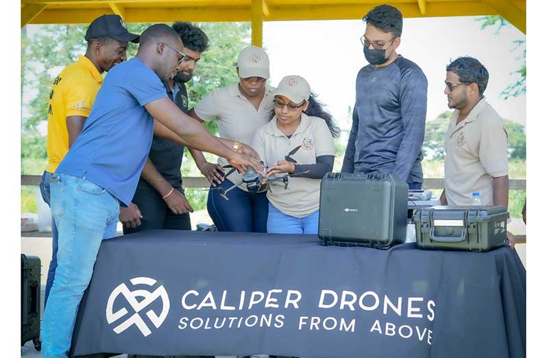
– Caliper Drone Services says the technology is reaching emergency response, mining, farming and even grieving families, but cautions that costs and limits must be weighed
DRONES are increasingly being used in Guyana to find missing graves, assess emergencies and treat rice fields, according to the head of a local company that has trained personnel from the Guyana Fire Service and the Guyana Geology and Mines Commission (GGMC) this year.
Julian Cadogan of Caliper Drone Services said the technology has changed in the almost ten years his company has operated here. “When we started, many people saw a drone primarily as a flying camera,” he said. Organisations now see it as a way to gather information they could not obtain as quickly, safely or consistently from the ground, with applications in surveying, mining, construction, agriculture and emergency response.
TRAINING FOR PUBLIC AGENCIES
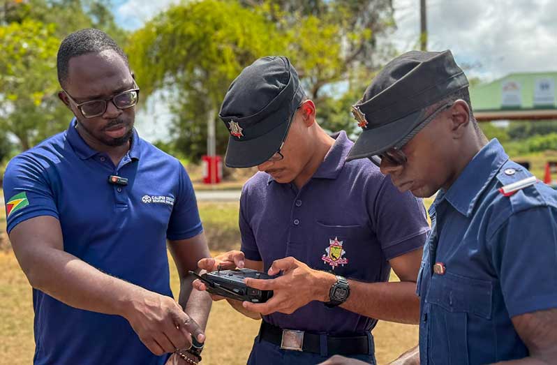
Six firefighters completed a programme in September 2026 covering hazard assessment, aerial reconnaissance, incident monitoring and thermal imaging. Mr Cadogan said an aerial view can help a team understand an emergency scene, identify risks and decide where to send people and equipment.
GGMC personnel were trained to collect and organise mapping data. The focus, he said, extended beyond flying to deciding what information is needed, how to capture it and how to present it in a report, so that a colleague who never visited a site can still make an informed decision.
Mr Cadogan said a competent professional pilot must be able to plan a mission, assess the site and weather, understand aviation requirements, check equipment and respond safely when conditions change. Trainees practise routine flights and scenarios such as low battery or loss of signal. Independence, he said, comes when a pilot can decide without an instructor present whether to fly, how to do so safely and whether the results meet the client’s needs.
FINDING LOVED ONES AT LE REPENTIR
One project with direct community impact is the mapping of Le Repentir Cemetery, which covers more than 100 acres and holds over 10,000 tombs. Mr Cadogan said families often struggle to locate a relative’s grave. His team mapped the site using drone imagery and geographic information system (GIS) tools, creating a visual record in which individual tombs can be identified and their locations recorded.
Since the work was shared, people have contacted the company asking for help finding relatives, he said. The next step is to link the map with verified burial records. With the relevant authorities as partners, a family could eventually search by name and be directed to the correct grave, while cemetery managers could use the system to identify tombs needing attention, plan maintenance and track available space. Mr Cadogan said no such system is in place yet.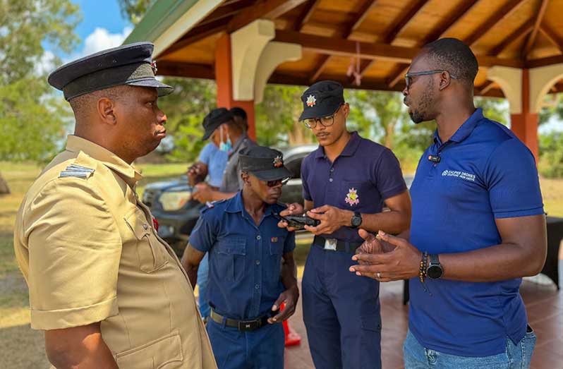
RICE FARMERS AND LABOUR SHORTAGES
In agriculture, Mr Cadogan said drones offer farmers another way to reach fields promptly, particularly when rain, labour shortages or limited equipment threaten to close a narrow window for spraying or fertilising.
He said some high-capacity models have manufacturer-tested spraying rates of about 50 acres per hour, meaning roughly 100 acres could be treated in two hours under favourable conditions. He cautioned that this is not a dependable estimate for every farm or for spreading granular fertiliser. Actual coverage depends on the application rate, field layout, weather, refilling and battery changes.
Farmers, he advised, should compare the cost of the complete job rather than the speed of the aircraft, including equipment or service fees, trained operators, batteries, maintenance and the quality of the application. For some farms, hiring a drone service may make more economic sense than buying a system.
OPPORTUNITIES FOR YOUNG PEOPLE
Mr Cadogan said training can lead to careers beyond “pilot”. Companies need people who can inspect assets, document construction progress, map sites and monitor crops, and young Guyanese who combine safe flying with skills in GIS, surveying, agriculture, imaging or data analysis can offer more valuable services. A drone professional on a construction site, for example, can give project managers a clear record of progress and help flag problems before they become costly.
Training, he said, is only the starting point. Aspiring professionals will also need appropriate operating credentials, practical experience and a portfolio showing the quality of their work. “Clients will ultimately pay for dependable information and better decisions,” he said, rather than simply for someone to fly a drone.