By Gillian Smith
LAND is a key component to economic development, social well-being, and environmental sustainability.
In Guyana’s fast-paced development-oriented environment, effective land administration and management continue to be an underpinning measure that will maximise the country’s investments, and contribute to sustainable growth.
At the recent swearing ceremony for Land Surveyors, H. E. President Dr. Mohammed Irfaan Ali reminded the new Land Surveyors about the strong linkage between the efficiency and effectiveness of their work in land management and justice.
The President also highlighted the regional opportunities that can become available to a cadre of well-trained Land Surveyors.
Commissioner Enrique Monize of the Guyana Lands and Surveys Commission (GLSC) added that Land Surveyors need to utilise technological advancements to better support the increasing requirements of the country for accurate, responsive, high-quality land management services.
The Sustainable Land Management and Development (SLDM) project is, among other things, contributing to the upscaling of land surveying capacity in the country.
Implemented together by GLSC and the FAO, with funding from Guyana’s REDD+ and Investment Fund (GRIF), the project is assisting with the rollout of Guyana’s comprehensive and responsive land administration and management agenda in two important ways.
The first is to strengthen the country’s capacity to meet international reporting obligations on land degradation, adoption of sustainable land management practices that can slow and avoid degradation, and measures to restore and return degraded lands to a natural or more productive state.
The other is to meet the needs of the country’s stakeholders for effective land administration and management and mapping services.
Meeting international obligations demonstrates Guyana’s leadership in land management, and ensures that the country is recognised for its efforts to meet its commitments to the United Nations Convention to Combat Desertification (UNCCD).
The SLDM project contributes by helping the country to adopt technical tools and methods, which identify and characterise the main land degradation causes in the country, and to prioritise and implement land restoration initiatives.
This will also contribute directly to the country’s LCDS target to restore approximately 200,000 hectares of land by 2030.
The other important part of the project is supporting the national land institution (GLSC) to improve their land management and administration information services and products to the stakeholders.
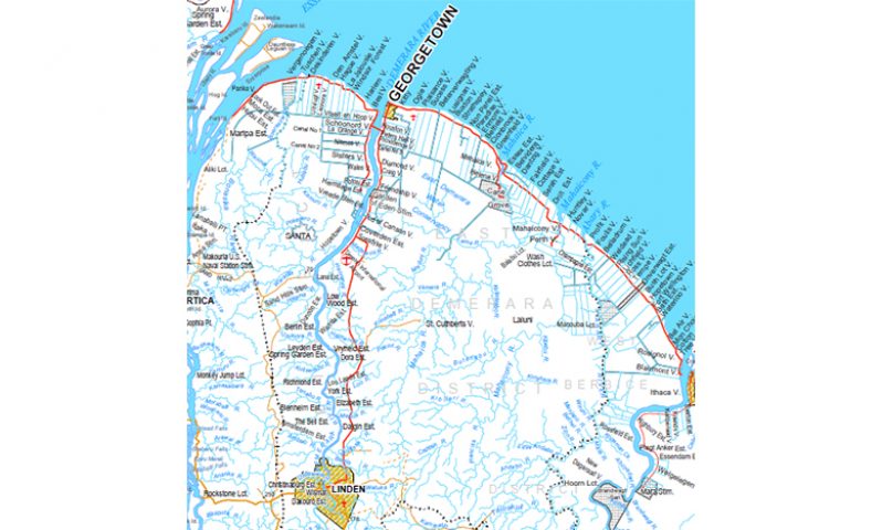
This includes updating base maps for several administrative regions by applying LIDAR technology, implementing modernised land administration and lease management systems, upgrading technology in land surveying and cadastral systems, and developing the capacity of local institutions.
Training and human resource capacity building are also supported through scholarship programmes at the Government Technical Institute (GTI) and the University of Guyana (UG), and increased use of new technological applications such as using drones, SEPAL, and LIDAR platforms.
By the end of the project in 2023, Guyana should be well on its way to a stronger, more responsive, and revitalised land administration and management system, which supports the country’s development vision.
The GLSC and other land management agencies will be able to manage land more efficiently, while being able to provide solutions that consider the complex interactions between different land use systems. (Gillian Smith is the United Nations Food and Agriculture Organisation (FAO)’s Representative in Guyana)


.jpg)


