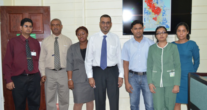
The Ministry of Natural Resources and the Environment, which is responsible for the protection of the nation’s natural assets and the environment, Thursday launched a Geospatial Information Management Unit at the Guyana Forestry Commission (GFC) that will track mining activities, legal and illegal deforestation and other illegal activities.

The Unit’s main functions include providing information on monitoring, equations and compliance to the Natural Resources Ministry and the sister agencies that fall under its administration: the Guyana Geology and Mines Commission (GGMC), Guyana Lands and Surveys Commission (GLSC) and the GFC.
It comprises five staff (three GIS analysts, a manager and an Information Technology specialist) along with representatives of the three related agencies.

During a power point presentation by the Unit’s Manager Haimwant Persaud, he highlighted that the unit will have very strong data security. However, useful information can be easily accessed through its website.
Minister of Natural Resources and the Environment, Robert Persaud, highlighted that the establishment of the unit will increase effectiveness in monitoring and management of forested areas and also in the mining communities. He added, “It is an additional tool/mechanism to allow us to get our job done.”
Also delivering brief remarks at the event was the People’s Republic of China’s Ambassador to Guyana, Zhang Limin, who said that Guyana and China share a strong bond.
Ambassador Limin also expressed his hope that as Guyana continues to develop its economy, it also does a very good job in protecting its environment.
To further enhance geo-technology, a Geospatial Information System Policy contract was signed between the Managing Director of Geotech Vision, Ms. Valerie Grant, and Commissioner of GGMC, Rickford Vieira.
(GINA)


.jpg)


