

.jpg)


DURING the inaugural Geographic Information Systems (GIS) Day observed on Wednesday which featured a series of activities, including an exhibition at the Cliff Anderson Sports Hall, youths were urged to grasp the opportunities in the field of geography.
Minister of Natural Resources and the Environment, Robert Persaud outlined the opportunities available to youths within the sector. He highlighted the Land Use Policy, formulated with European Union support, which will be used to develop in a sustainable way the use of land across Guyana. The minister pointed out that the policy document will inform citizens, particularly potential investors about the availability and suitability of lands for various activities. “It is about allowing us to make smart, sensible and transparent decisions,” he said.
Describing the document as a ‘living one’ Persaud said that it will be constantly reviewed to reflect changes in an ever evolving society. He stressed that it was not a ‘top down’ document, but one which was ‘bottom up’ in its approach to addressing issues. It was noted that countrywide consultations were held with many residents of various communities being given an opportunity to voice their opinions, and offer advice and suggestions as part of the process.
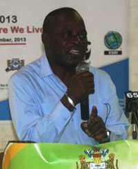
The affairs of the Lands and Surveys Commission, according to the minister, have also been modernised with the use of GIS and its benefits to mining, forestry, road construction, disaster relief and law enforcement were also noted. “It would allow us to maximise and develop our country very quickly and realise its potential. I do hope that as young people, you will take a greater interest in the field, in the topic, in this new area which for many of you is GIS, and you will see the career opportunity because we will need an increasing number of technicians in this particular area…..we will need much more, not only in the public sector, but also in the private sector where many companies require the use of these skills”.
It was through activities such as this event, Minister Persaud said, that help to increase awareness of GIS and the fact that, though novel, it was not unknown.
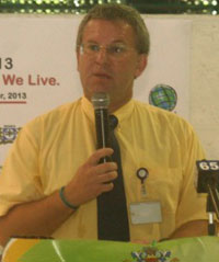
Meanwhile, European Union Ambassador Robert Kopecky said GIS was an investment in the future, adding it was his love of geography which led in part to his posting to South America from his native Czechoslovakia (now Czech and Slovak Republics). The opportunities in the sector would enable youths to build careers which would develop Guyana and even improve on the average 5% GDP growth that it has experienced over the last few years.
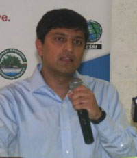
World Bank Data Management Specialist Bishwa Pandey spoke of the role that technology is playing and will continue to play in the sector, describing it as being an “exciting time”. He noted that GIS is playing a significant role in helping countries, such as the Philippines which was recently struck by Typhoon Haiyan leaving 500,000 homeless and killing more than 4,000 people, recover from disasters. It is through mapping services that organisations and the government are able to coordinate their aid responses, to assist those most affected, he said.
University of Guyana’s Vice-Chancellor, Professor Jacob Opadeyi pointed out to the students at the event that a cholera outbreak in the 1970s was tracked and contained using GIS. This enabled health workers to accurately pinpoint the source of the water borne disease which affected dozens of people in London. The professor also urged students to take a keen interest in the programme which would be to their benefit.
The event attracted students of several high schools in Georgetown who participated in a quiz, a treasure hunt and a ‘Maptionary’ exercise. The students were also able to view an audio visual presentation, an exhibition with booths showcasing the work and instruments used by agencies such as the Guyana Geology and Mines Commission and the Guyana Forestry Commission.
Using Skype, students were also able to connect with their counterparts in Jamaica who sent them GIS day greetings.
GIS Day was celebrated under the theme “Discovering where we live” under the auspices of the Ministry of Natural Resources and the Environment. Organisations all over the world that use GIS, or are interested in GIS, participate by holding or sponsoring an event of their own. In 2005 more than 700 GIS Day events were held in 74 countries around the globe. The first GIS Day was held in 1999.
(GINA)


