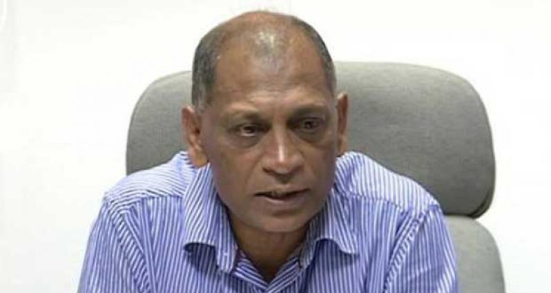
MINISTER of Agriculture, Dr. Leslie Ramsammy said that the Ministry, through its Hydrometeorological Office, will be installing at least 30 more Automatic Weather Stations (AWS) across Guyana to supplement and verify radar data.
The Hydromet Office monitors weather patterns by looking at the manual and automated stations that have been installed around the country. At present, there are 14 AWS, seven meteorological observatories/synoptic stations, 60 water level stations, and 148 rainfall stations at strategic locations across the country.
Minister Ramsammy said that in addition to providing short, medium and long-term forecast for farmers, the Hydromet Office provides weather conditions for aviation purposes at the Cheddi Jagan International and Ogle airports, and other airstrips across the country.
This office has also been working to archive water and weather data such as the volume of water in the waterways, amount of rainfall and sunshine hours and data for construction planning.
With regard to the Doppler Radar, he said that a lot of people are under the misconception that it should ensure that the country gets better long-term forecast; however, this is not the case.
“The Doppler does not help us with long-term forecast, the Doppler enables us to tell what conditions exist at the moment at a particular area, and it has a limited space that it monitors,” the Agriculture Minister said.
The Doppler provides information such as the level of humidity, kind of raindrops, visibility and wind speed, all of which are important information in the safe landing and take-off of aircraft at CJIA, Ogle and other airstrips.
The most effective use of the Doppler Tower is its ability to engage with other Doppler systems in the Region, such as those in Trinidad and Tobago, the Cayman Island and Jamaica.
However, Minister Ramsammy explained that in the Caribbean, all of the systems do not work at the same time, as there is always one or two that are down.
In addition to the 30 new stations that will be installed, the Ministry will be placing 40 transmitting rain gauges in flood-prone areas to enable forecasters to see what is happening on the ground on a 24-hour basis, and make adjustments to forecasts and offer the public better advice.
The hydromet service has a combination of 40 transmitting water level and rainfall loggers in the East Demerara Water Conservancy (EDWC) and Mahaica River areas. As such, should water reach a certain level in the Mahaica area, an alarm is sent to the Ministry’s cell phones.
This would in turn inform the National Drainage and Irrigation Authority (NDIA) to ensure that sluices and pumps are monitored and operated as required to protect residents in those areas.
The Ministry plans to extend this system of monitoring to all the other conservancies and flood prone areas.
(GINA)


.png)


