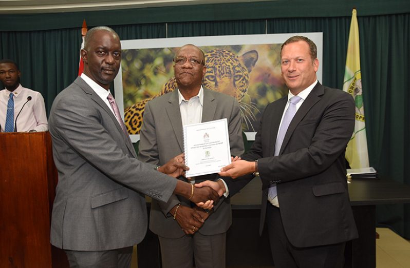
THE Guyana Lands and Surveys Commission (GLSC) has signed a $93 million contract with British consultancy company, Ordnance Survey International, for the establishment of a Continuously Operating Reference Stations (CORS) project.
The project seeks to establish and sustainably maintain a modern, robust and accurate national geodetic positioning network for Guyana.
“The project, envisioned to be highly complex with specialised blend of technical work to be undertaken. To ensure sustainability, an institutional strengthening and capacity-building component has been added to the project,” said GLSC Commissioner Trevor Benn prior to signing of the agreement at the Ministry of the Presidency on Wednesday.
GLSC as the beneficiaries has sought a specific combination of qualities in a geospatial consulting firm to provide consulting services for successful delivery of the national project.
Benn said they expect world-class standards; knowledge, expertise and experience to be employed by the contracted firm. The firm was chosen because of their detailed understanding of the GLSC’s role as the national mapping and geospatial agency and its own particular insight into sustainable and future use of the CORS technology
He believes that the expertise is needed, because this is not a new project and approximately seven years ago the then government expended half a billion dollars on this network but although stations were established, they were never operationalised.
“Given the previous mistakes and lack of use of the network, we expect world-class standard, expertise to help us manage and maintain the network,” he said, noting that they will re-establish the existing eight-station CORS network which are located in Regions, One, Two, Four, Six, Seven, Nine and 10.
The stations were never put into operation, so the equipment and other features went into disrepair.
As opposed to the previous project, they hope to establish full functionality and usability of the existing Network Operations Centre (NOC) and an eight-site CORS network; design and document associated CORS management processes; train staff to be able to operate all first and second-line operation activities; and establish third-line support cover with GNSS equipment and software manufacturer.
Such a network has application in a wide variety of fields, including surveying, mining, agriculture and construction.
“It will enable all users, engineers, surveyors to get more precise information to help them make decisions… the network will point them closer to their target, like where to look for what… we have to talk with GWI and so forth to tell them how it is going to work,” said Benn.
Workers who deal with infrastructure would also have more precise readings, because Ordnance will also assist GLSC to specify, procure and deploy specialist equipment for the CORS network in accordance with identified national development needs and the strategic business requirements.
“They will help us to design and implement action plans to ensure sustainability of the CORS network, including specialist training, skills transfer, expert network building and wider user engagement to ensure benefit of investment is maximised by Guyana’s public and private users,” the commissioner explained.
Work on the project is scheduled to commence on Friday and is expected to be completed before the end of the year.
Minister of State Joseph Harmon commended the GLSC for its work so far and noted that the project is very important, as it will enable the commission to fulfil one of the main aspects of its mandate which is to execute, Geodetic, Topographic and hydrographic surveys in relation to land and water resources.
Chief Executive Officer (CEO)/Managing-Director of Ordnance Survey International, Peter Hedlund, said the company has had a local presence for many years, so they know the project is a cornerstone for the future.
He believes that a solid CORS network is a key foundation for survey, mapping and land administration.


.png)


